Ring Road Day 3: Turf Houses,Churches, and 'Somewhat Icy' Roads
I stayed in Reykir for a little while, hoping to go to the museum about local black magic, but it turned out to be closed for the season. Even with that late start, I was able to drive a ways and see a stone church at the tail end of the sunrise.

The stones for this church were dragged across the frozen lake by the lone farmer who constructed it.
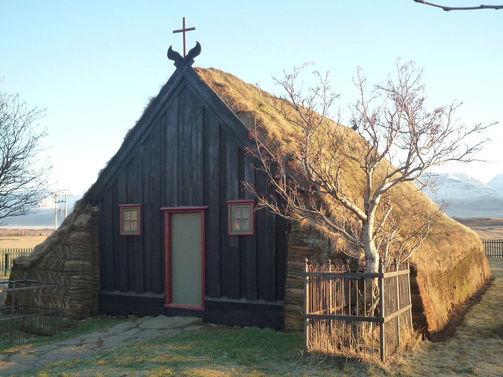
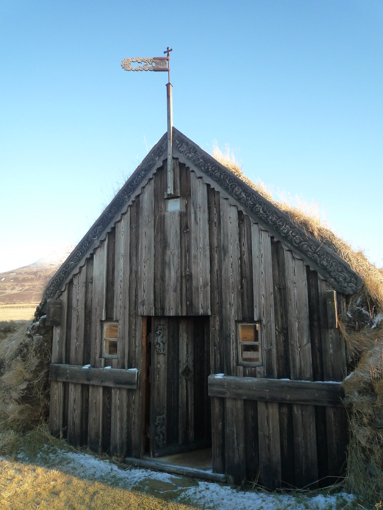
From there I drove across the base of the Skagi Peninsula to a cute old turf-roofed church.
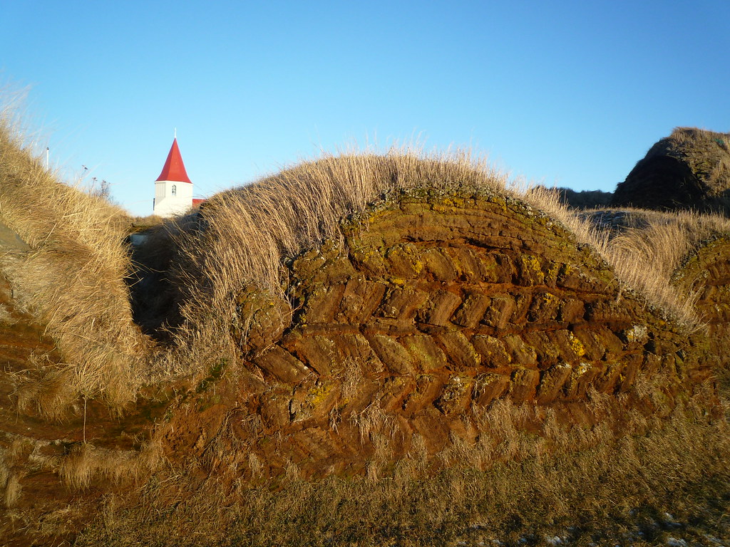
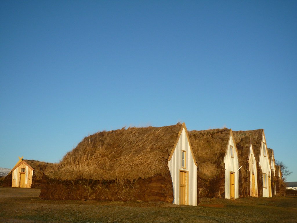
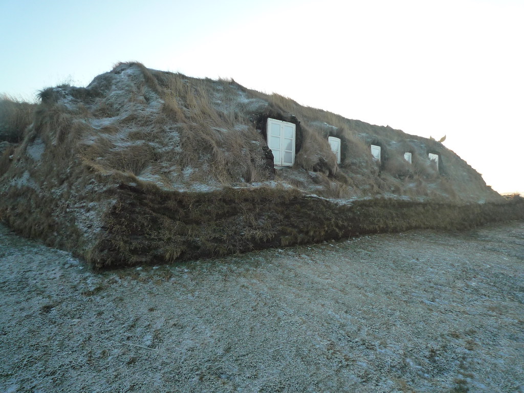
I investigated many more turf-roofed buildings from the 18th century in Glaumbaer, where the turf farms have been turned into a folk museum, which was closed so I couldn't see inside, but got to walk amongst the buildings.
Just behind them is a modern church, but its graveyard holds the body of the first European born in North America, in 1003 C.E. Yes, that's right, more than four hundred years before Christopher Columbus was even born, there were Icelandic people in North America under the guidance of Leif Ericson.
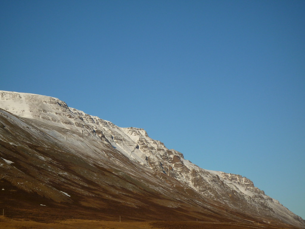
I continued my Northward detour from the Ring Road to the town of Sauðárkrókur. The town has some nice buildings from the 1700s, but let's be honest. The real reason I went was for a view of Tindastóll, a mountain whose caves are supposed to be filled with sea monsters, giants, and trolls.
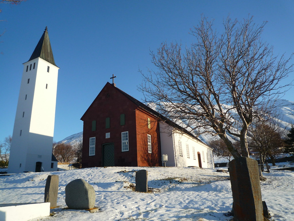
I detoured West to Hólar, a town very proud of its history, especially its red sandstone cathedral, the oldest stone church in Iceland.
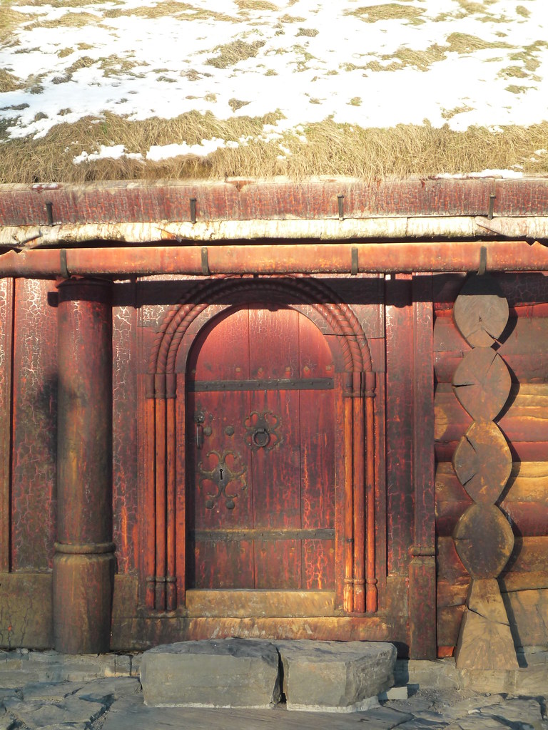
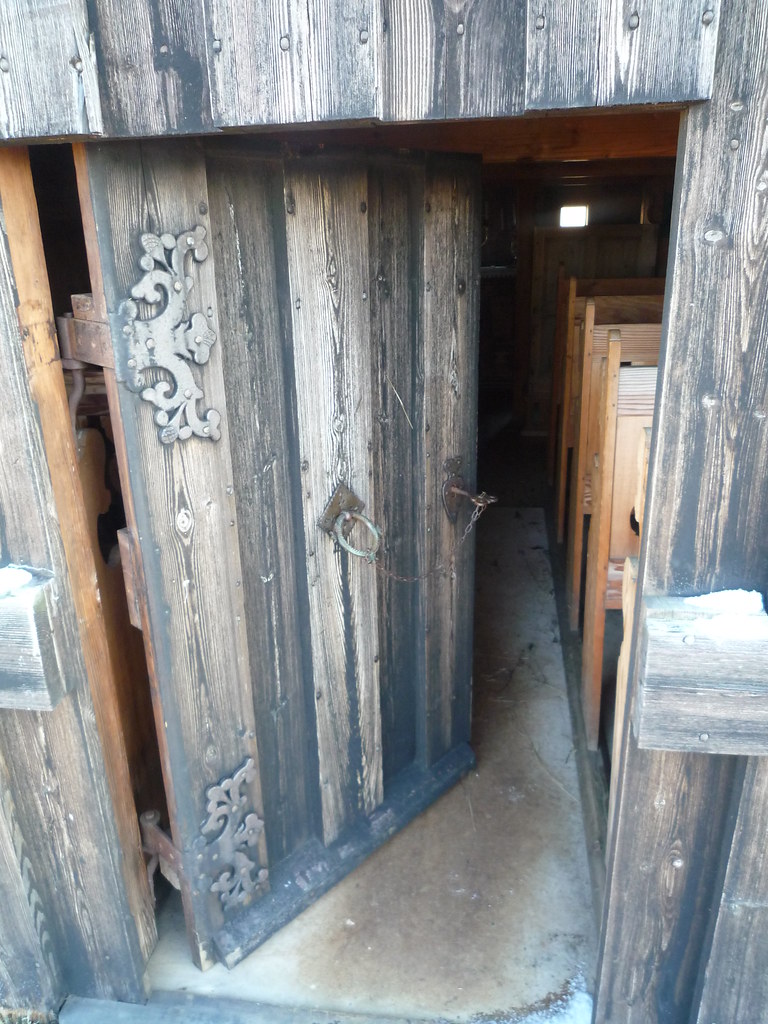
There were yet more turf houses as well. My favorite part was the reconstructed Bishop's residence. I found the way the red stain brought out the patterns in the wood to be remarkably beautiful.
After a bit of backtracking I headed North. I stopped to see another turf church with some ornately carved gables.

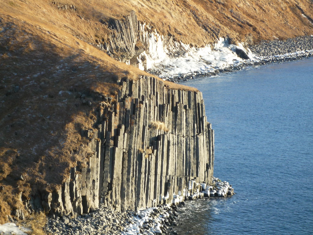
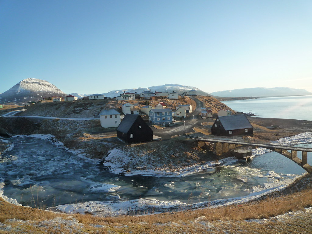
Just past the church was the old fishing town of Hofsós. The town looked out over a fjord, and beneath the town's perch were basalt columns covered with sea foam.
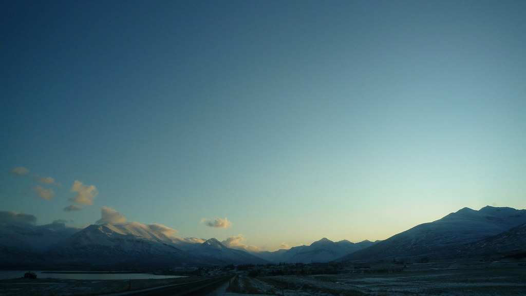
I decided to continue North around the peninsula rather than backtrack all the way down to the Ring Road. This was not the best decision I have ever made. This far North there is hardly any daylight, even in the middle of the day. Everyone drove in the middle of the two lane road, except in places with slight hills, where signs would show us which side we should be on:
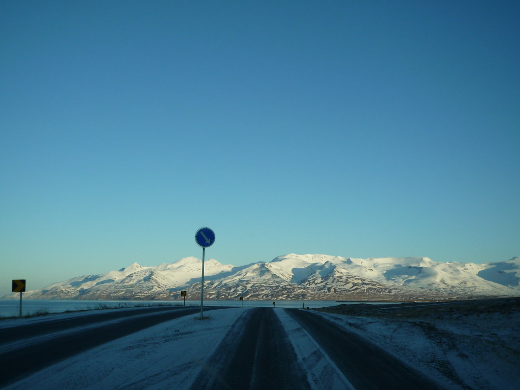
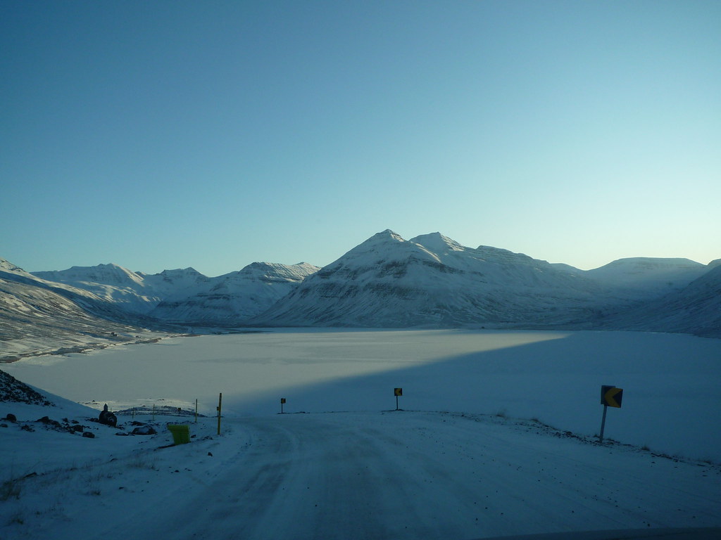
However, even these less-than-ideal normal road conditions devolved into a one lane strip of asphalt with sheer drops onto frozen lakes. This road was completely covered with ice. It was marked as a dotted line on the map, which means less developed roadway, i.e. 'what the fuck were you thinking bringing a two wheel drive car with no chains onto what is essentially a thin sloping ice-rink?!' I probably would have been fine had I not stopped to take pictures. Once I stopped though, I couldn't get moving again. My tires simply spun in place and I began slipping backwards down the hill. I was pretty sure I was going to fall backwards into the frozen lake, and since I hadn't seen any houses or other cars on the entire stretch of road, I honestly thought I was going to die.
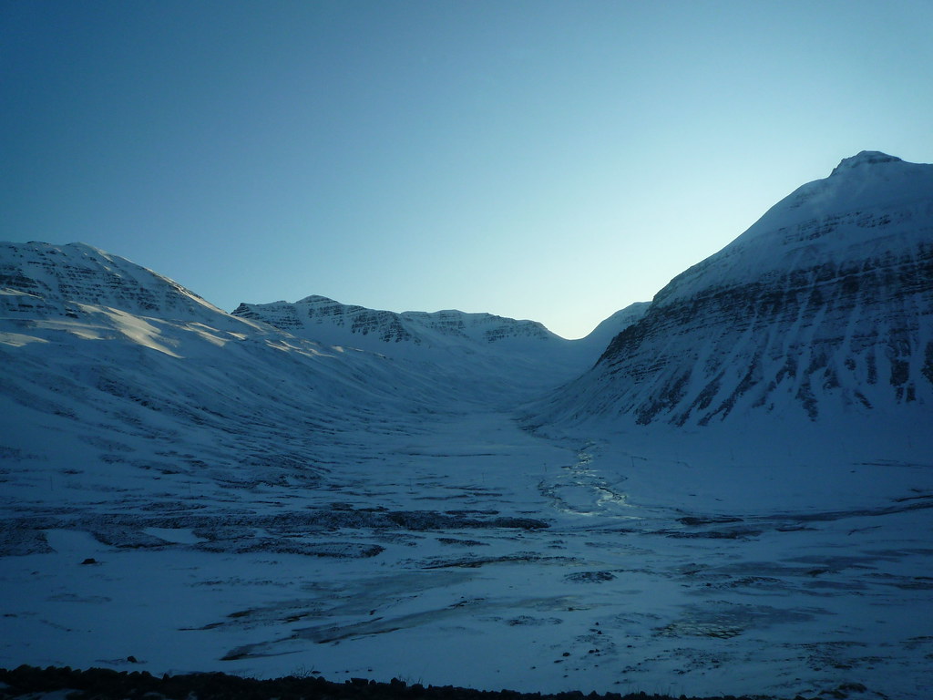
I finally managed to ease myself backwards to the comparatively flat ground at the trough between two hills and start driving forward again. I don't think I have ever been so nervous driving a car as I was for the next hour or so before I made it to a town and back onto halfway decent roads. I had to stop for a while and let my heart slow down and my breathing become regular. Right after the town was a super long one lane but two way tunnel through the mountain, where there were regular pull-outs that I had to use to let cars and trucks go by in the opposite direction. The road continued to wind along the cliffs above the fjords. I was quite thankful when it finally leveled out.
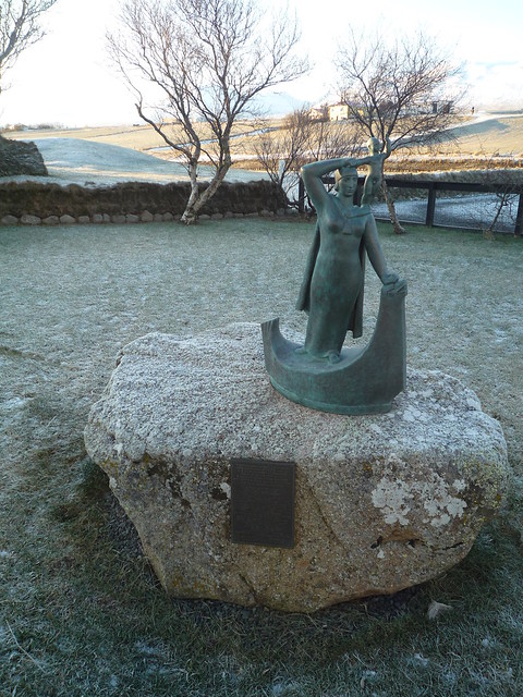
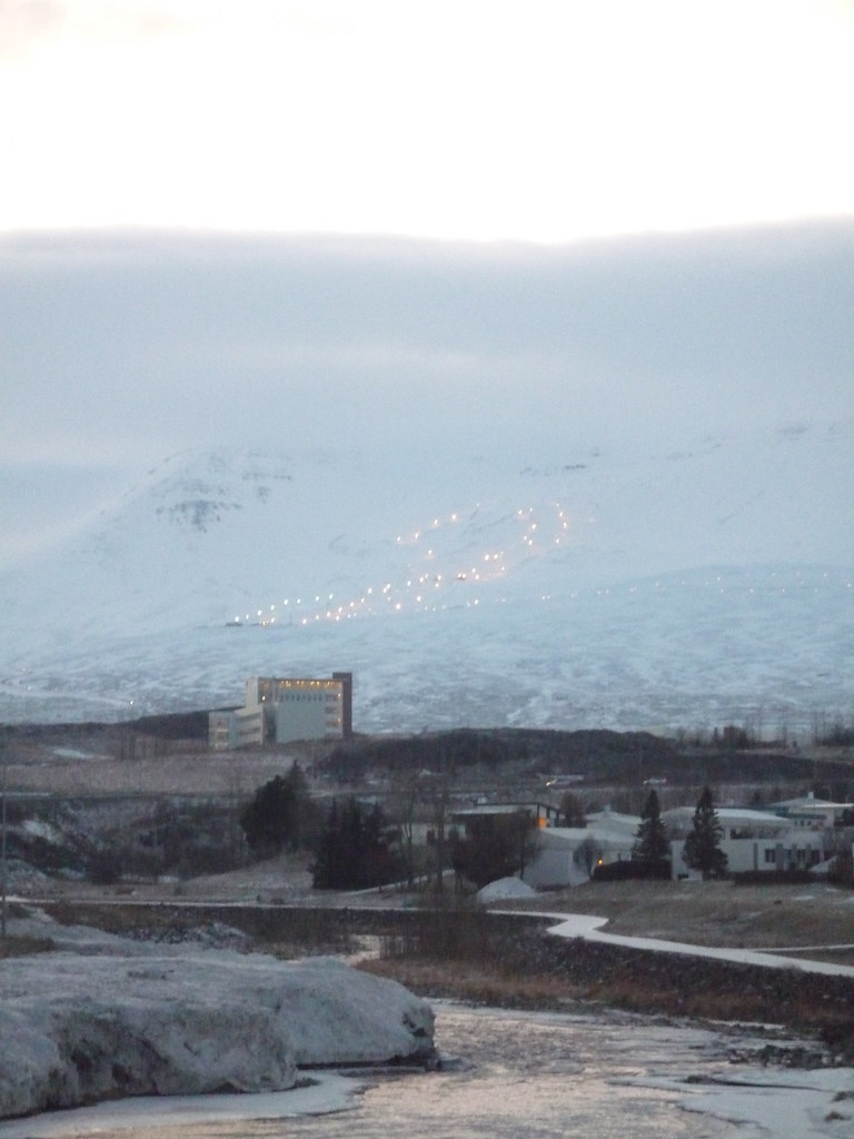
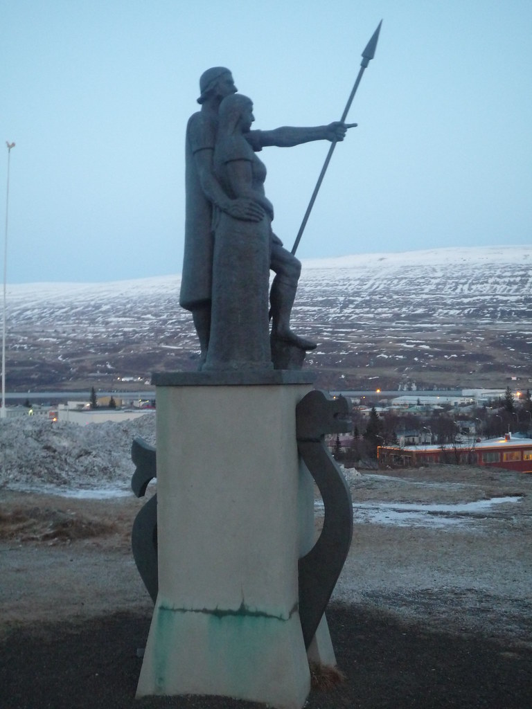
I was less of a nervous wreck when I finally pulled into Akureyri, the second city in Iceland. I checked into the hostel, where many young skiers and snowboarders were stayed. Apparently there was a ski competition that weekend. In the dying light I saw the ski slopes and a statue of Helgi the Lean, the first settler in the area.
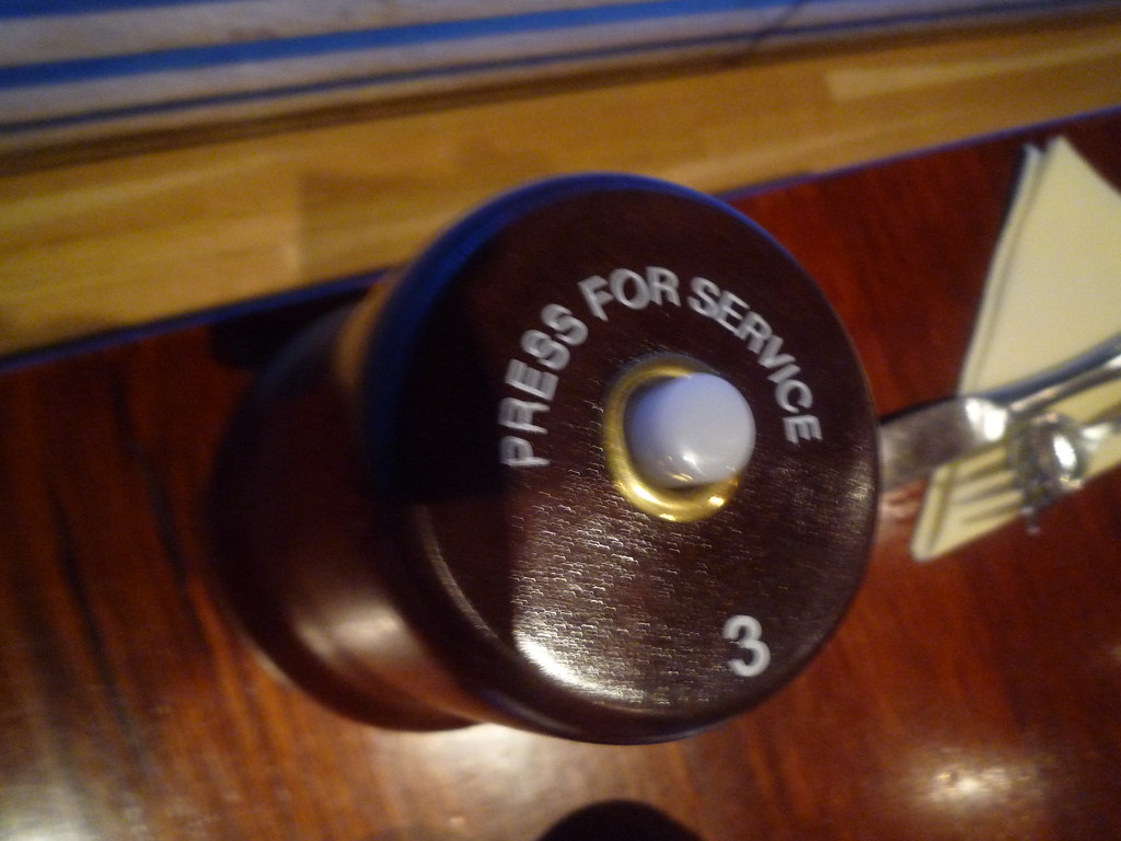
I relaxed with an indulgently greasy dinner. The restaurant even had a yeogi-yo button! In Korea, instead of the wait staff coming by the table all the time to check on you, you just press the button that is like a doorbell and brings them over to you. At restaurants without such devices one simply shouts "yeogi-yo" (여기요: here, please), so we always called them yeogi-yo buttons.
I thought I would socialize with the skiers, who were mostly my age, but I was worn out from the drive so I just crashed as soon as I got back from dinner. First, though, I did check out Iceland's useful weather/volcanic and seismic activity/road/conditions map. The road I had just negotiated was rated as 'slippery.' I'd hate to see what 'extremely slippery' looks like.
0 comments:
Post a Comment