Sunday, December 12, 2010

Ring Road Day 3: Turf Houses,Churches, and 'Somewhat Icy' Roads

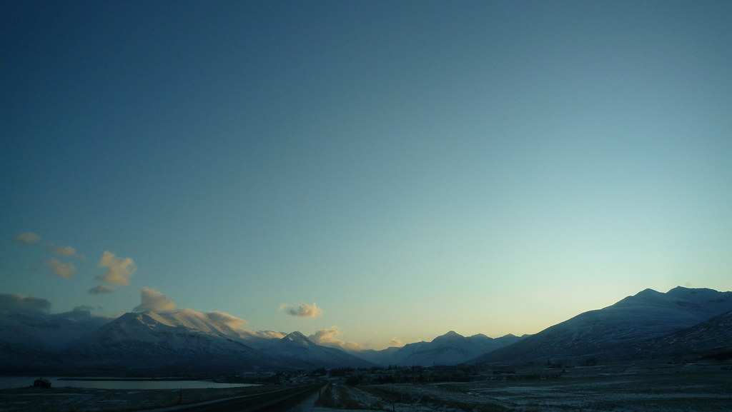
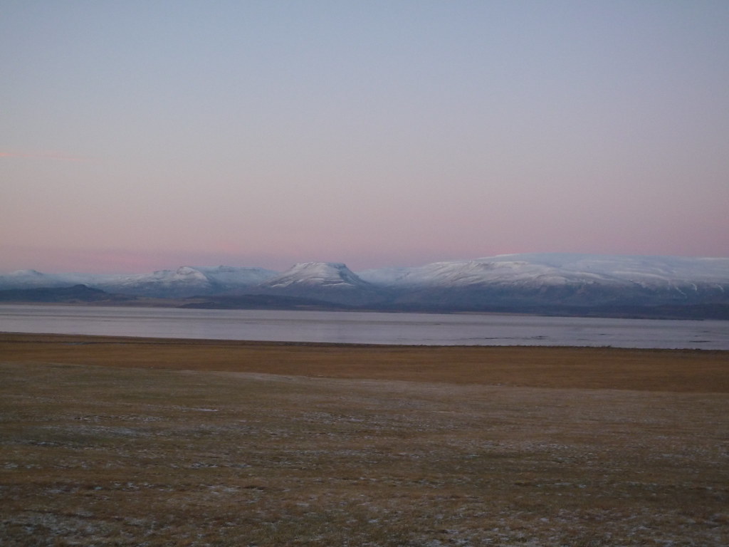
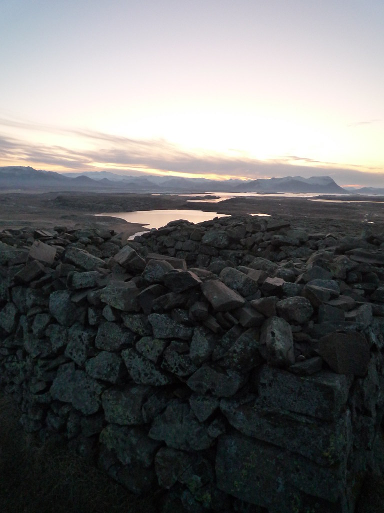
I stayed in Reykir for a little while, hoping to go to the museum about local black magic, but it turned out to be closed for the season. Even with that late start, I was able to drive a ways and see a stone church at the tail end of the sunrise.


The stones for this church were dragged across the frozen lake by the lone farmer who constructed it.

From there I drove across the base of the Skagi Peninsula to a cute old turf-roofed church.


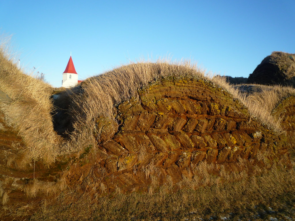
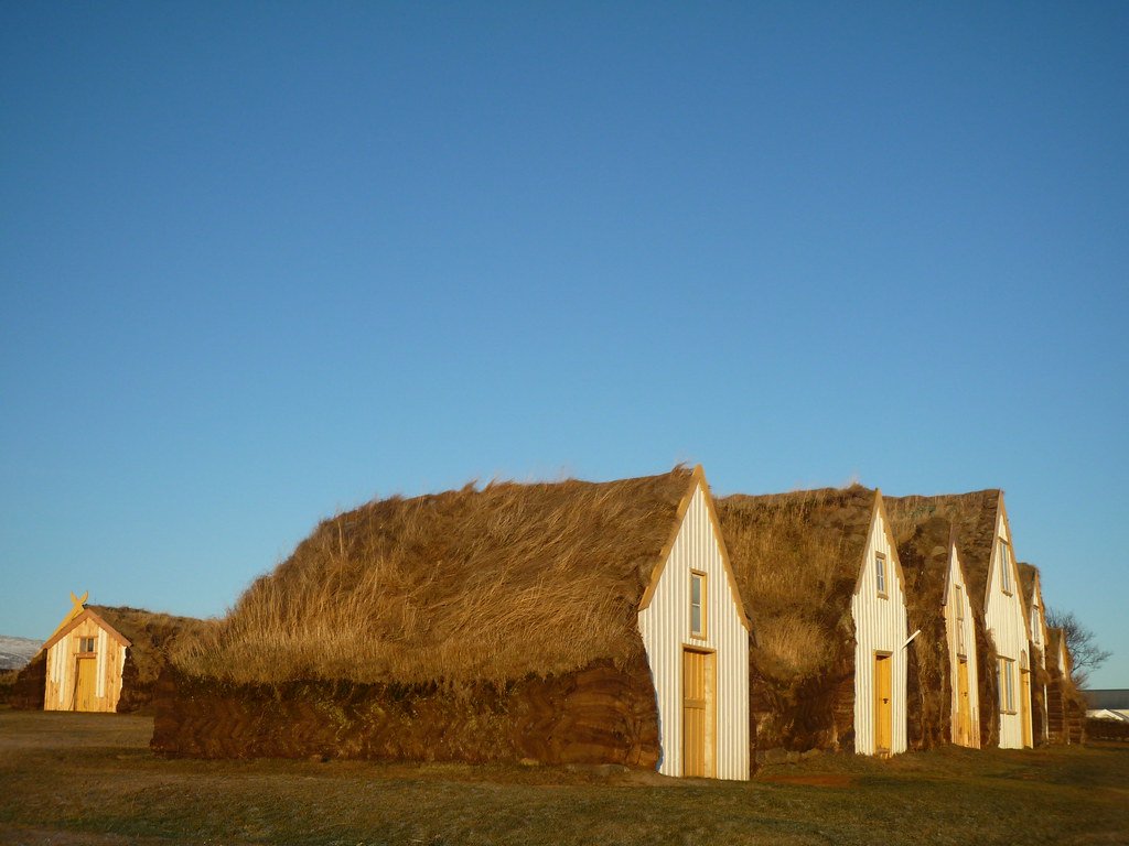
I investigated many more turf-roofed buildings from the 18th century in Glaumbaer, where the turf farms have been turned into a folk museum, which was closed so I couldn't see inside, but got to walk amongst the buildings.


Just behind them is a modern church, but its graveyard holds the body of the first European born in North America, in 1003 C.E. Yes, that's right, more than four hundred years before Christopher Columbus was even born, there were Icelandic people in North America under the guidance of Leif Ericson.


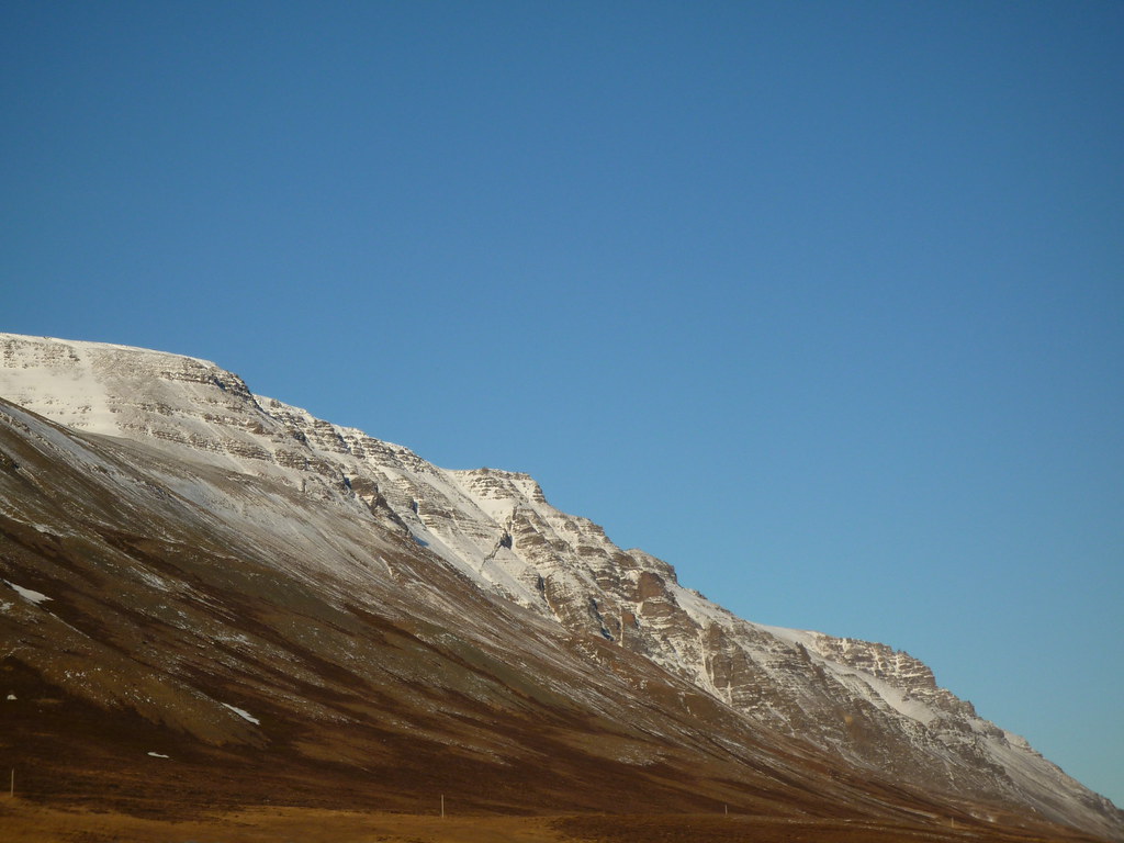
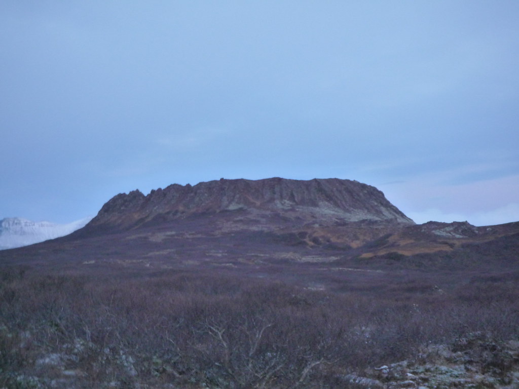
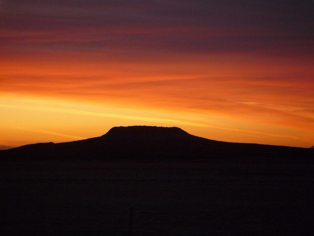
I continued my Northward detour from the Ring Road to the town of Sauðárkrókur. The town has some nice buildings from the 1700s, but let's be honest. The real reason I went was for a view of Tindastóll, a mountain whose caves are supposed to be filled with sea monsters, giants,  and trolls.


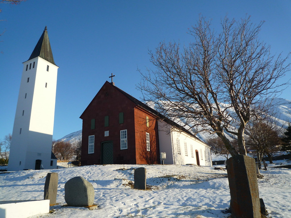
I detoured West to Hólar, a town very proud of its history, especially its red sandstone cathedral, the oldest stone church in Iceland.


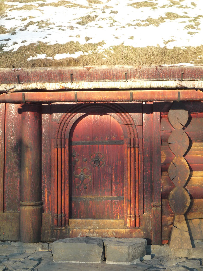
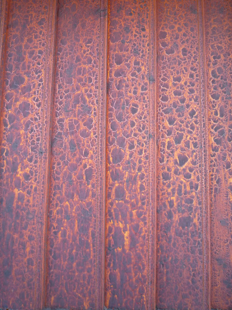
There were yet more turf houses as well. My favorite part was the reconstructed Bishop's residence. I found the way the red stain brought out the patterns in the wood to be remarkably beautiful.


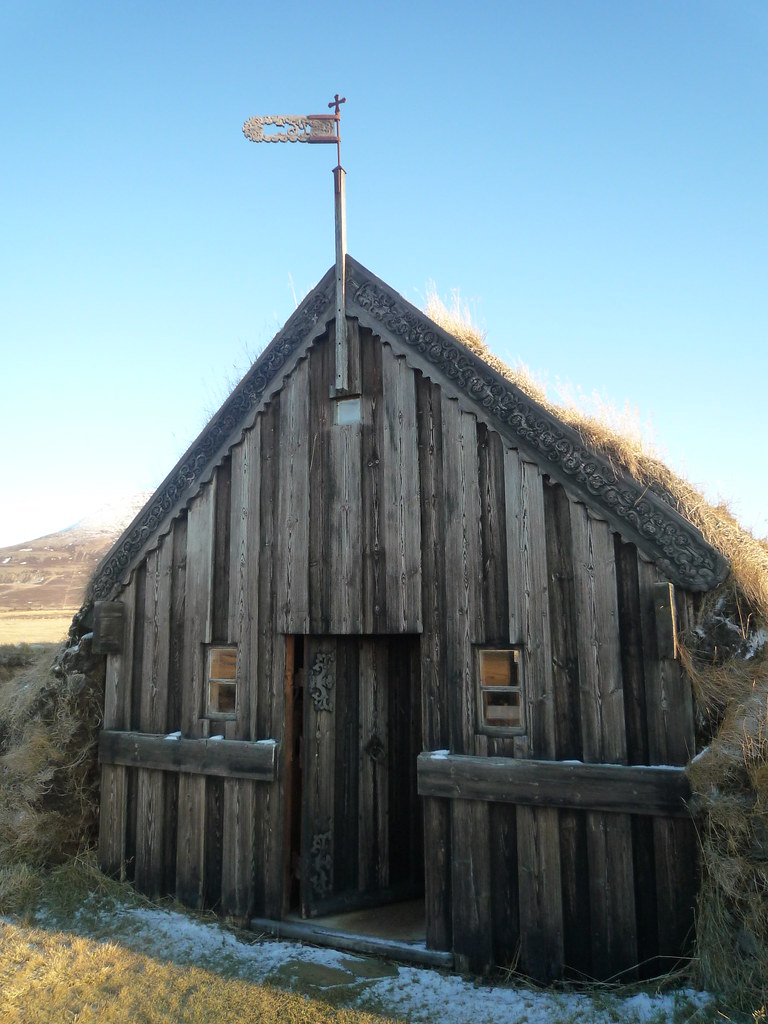
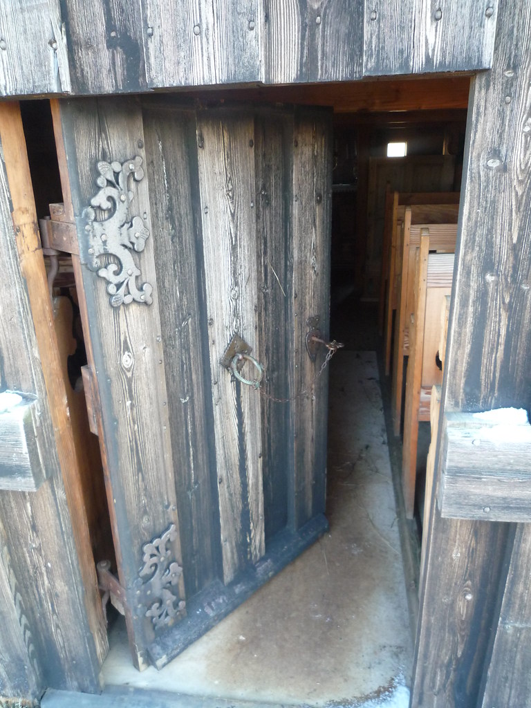
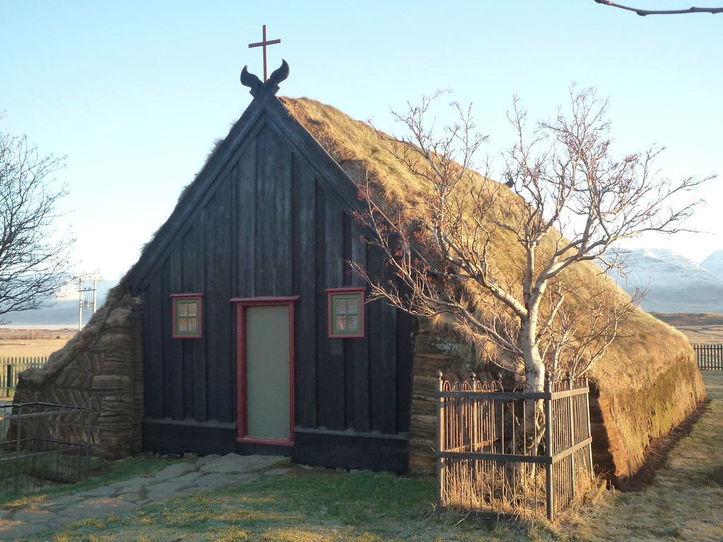
After a bit of backtracking I headed North. I stopped to see another turf church with some ornately carved gables.


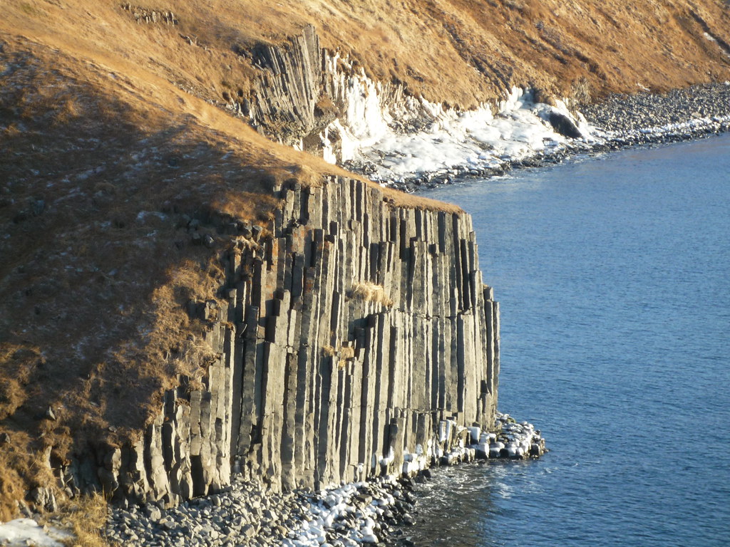
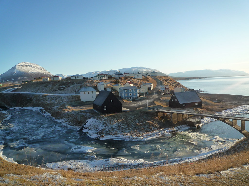
Just past the church was the old fishing town of Hofsós. The town looked out over a fjord, and beneath the town's perch were basalt columns covered with sea foam.

The town is home to a genealogical center for people around the world to find their Icelandic heritage, as well as some historic buildings such as black-tarred log warehouses.


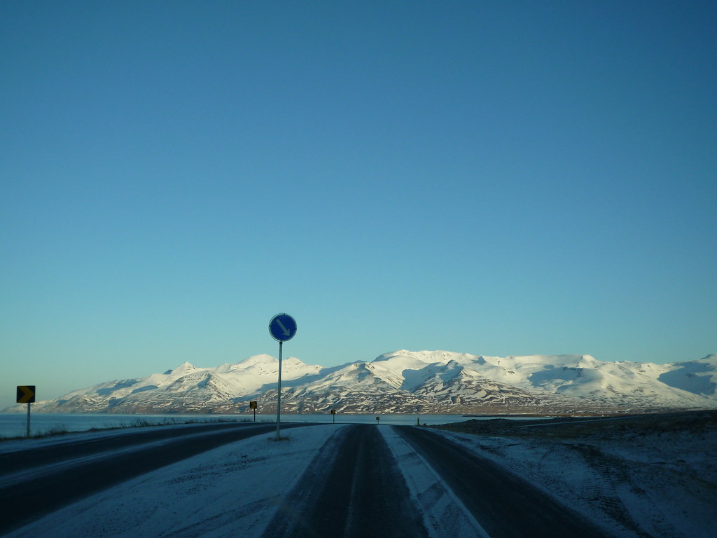
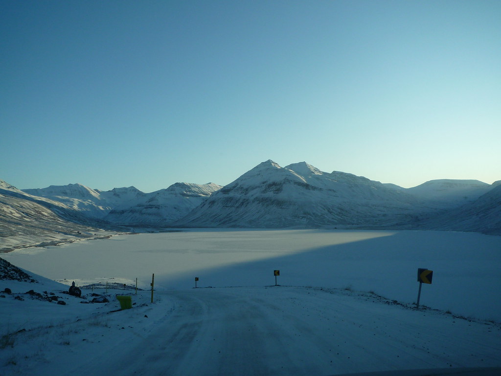
I decided to continue North around the peninsula rather than backtrack all the way down to the Ring Road. This was not the best decision I have ever made. This far North there is hardly any daylight, even in the middle of the day. Everyone drove in the middle of the two lane road, except in places with slight hills, where signs would show us which side we should be on:


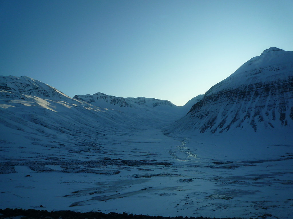
However, even these less-than-ideal normal road conditions devolved into a one lane strip of asphalt with sheer drops onto frozen lakes. This road was completely covered with ice. It was marked as a dotted line on the map, which means less developed roadway, i.e. 'what the fuck were you thinking bringing a two wheel drive car with no chains onto what is essentially a thin sloping ice-rink?!' I probably would have been fine had I not stopped to take pictures. Once I stopped though, I couldn't get moving again. My tires simply spun in place and I began slipping backwards down the hill. I was pretty sure I was going to fall backwards into the frozen lake, and since I hadn't seen any houses or other cars on the entire stretch of road, I honestly thought I was going to die.


I finally managed to ease myself backwards to the comparatively flat ground at the trough between two hills and start driving forward again. I don't think I have ever been so nervous driving a car as I was for the next hour or so before I made it to a town and back onto halfway decent roads. I had to stop for a while and let my heart slow down and my breathing become regular. Right after the town was a super long one lane but two way tunnel through the mountain, where there were regular pull-outs that I had to use to let cars and trucks go by in the opposite direction. The road continued to wind along the cliffs above the fjords. I was quite thankful when it finally leveled out.


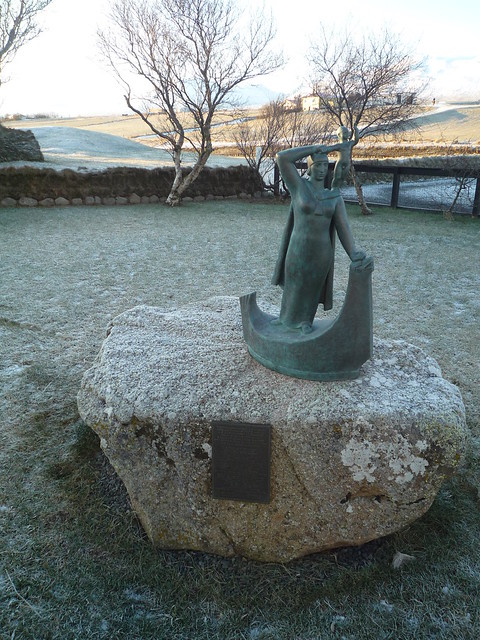
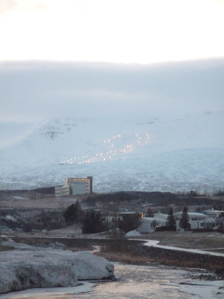
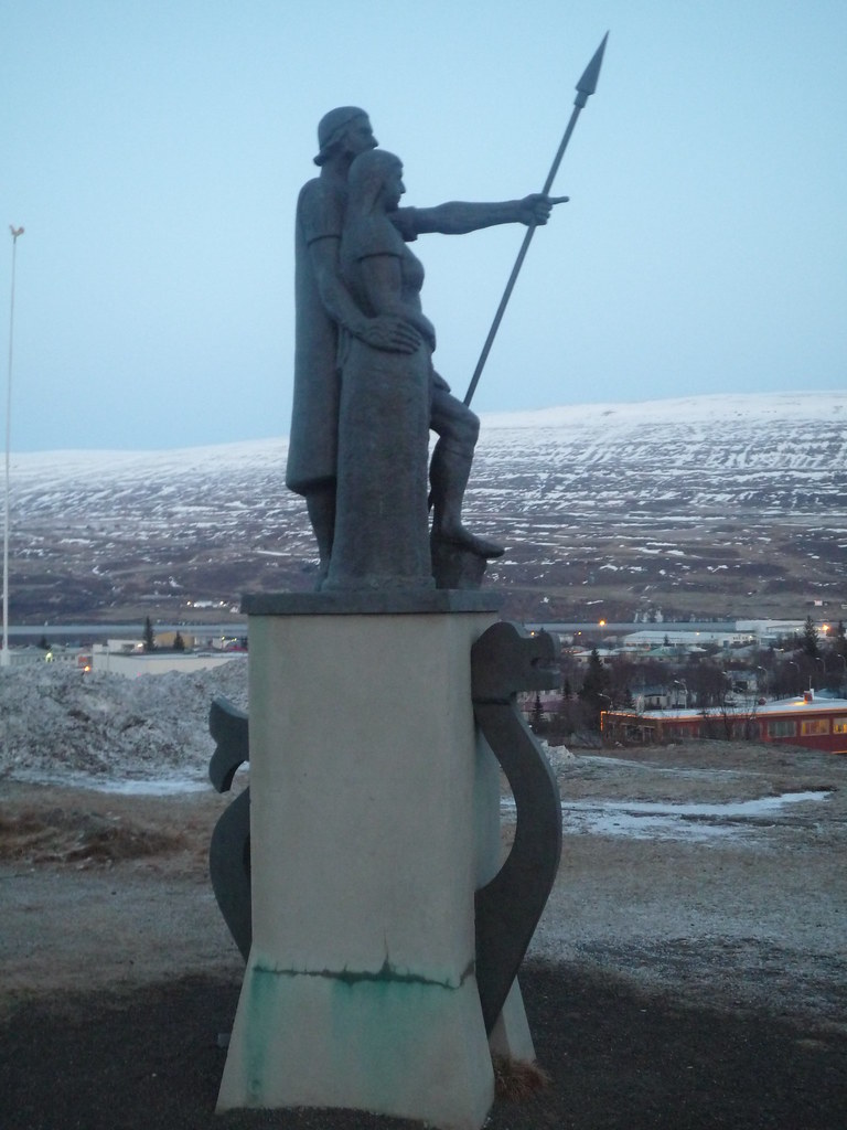
I was less of a nervous wreck when I finally pulled into Akureyri, the second city in Iceland. I checked into the hostel, where many young skiers and snowboarders were stayed. Apparently there was a ski competition that weekend. In the dying light I saw the ski slopes and a statue of Helgi the Lean, the first settler in the area.


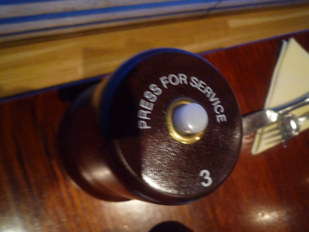
I relaxed with an indulgently greasy dinner. The restaurant even had a yeogi-yo button! In Korea, instead of the wait staff coming by the table all the time to check on you, you just press the button that is like a doorbell and brings them over to you. At restaurants without such devices one simply shouts "yeogi-yo" (여기요: here, please), so we always called them yeogi-yo buttons.


I thought I would socialize with the skiers, who were mostly my age, but I was worn out from the drive so I just crashed as soon as I got back from dinner. First, though, I did check out Iceland's useful weather/volcanic and seismic activity/road/conditions map. The road I had just negotiated was rated as 'slippery.' I'd hate to see what 'extremely slippery' looks like.

Sunday, December 5, 2010

Ring Road Day 2: Journey to the Center of the Earth


I began hiking in the predawn glow and reached the ridge of Eldborg's crater in time to see another spectacular sunrise.
 

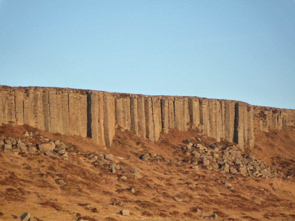
My pictures don't really do justice to how steep Eldborg is, inside and out. Lonely Planet compares it to an egg-cup, and I suppose that is about right. After hiking back along the frozen dirt paths I drove a tiny way to a cliff of basalt jutting up from the landscape like a natural quarry. I was blown away by basalt when I first saw the hexagonal columns on Jeju island, but by the time I finished traveling across Iceland they almost seemed commonplace.

From there I took a much longer drive out along the south coast of the Snaefellsnes peninsula (a name that amuses me, having lived for years on Sneffels street). Snaefellsnes looks like a finger bone stretched out to the West of Iceland.

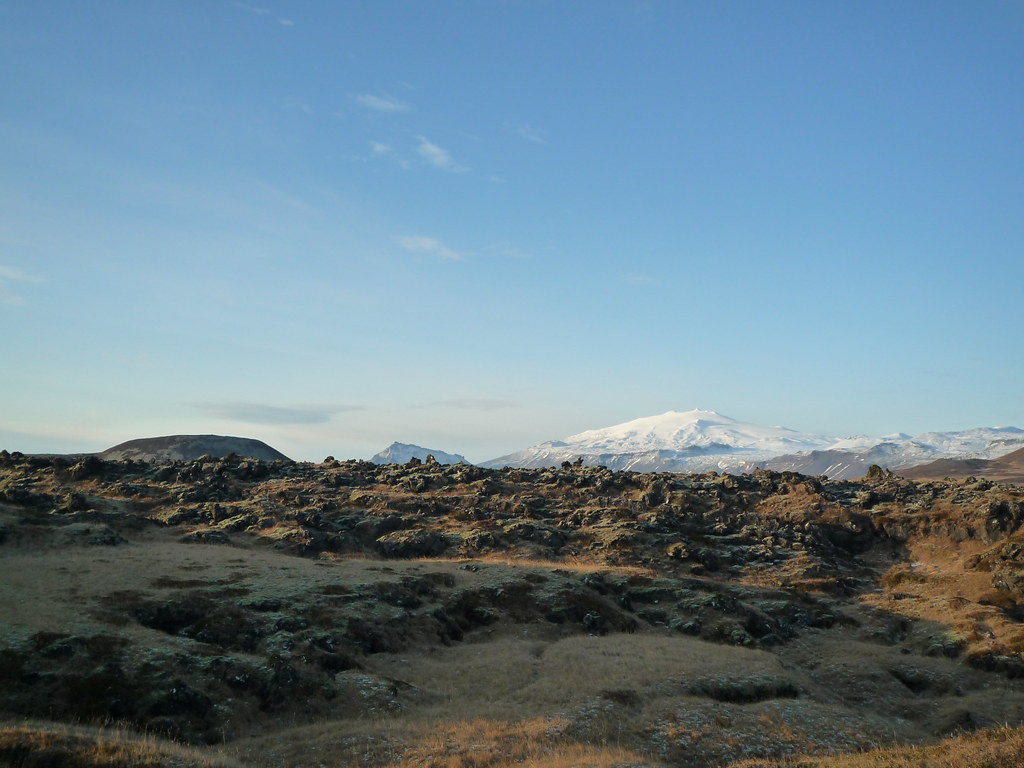
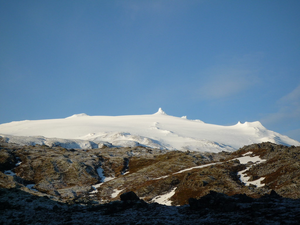
I stopped by some little towns, mostly to see the lava formations near them and their coasts. It's funny that every little group of more than twenty houses gets put on the map as a town since the total Icelandic population is so tiny. There was a path through the lava to a crater that is said to be home to more little people. The path did have a Tolkienesque feeling to it, especially with Snæfellsjökull looming in the background.


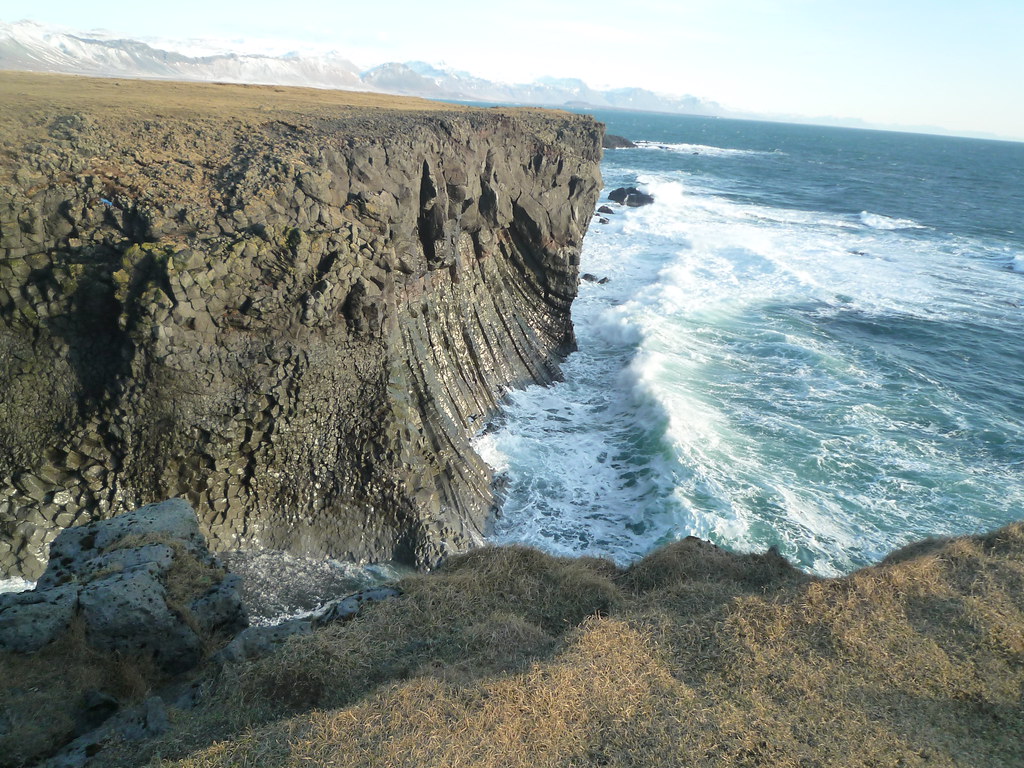
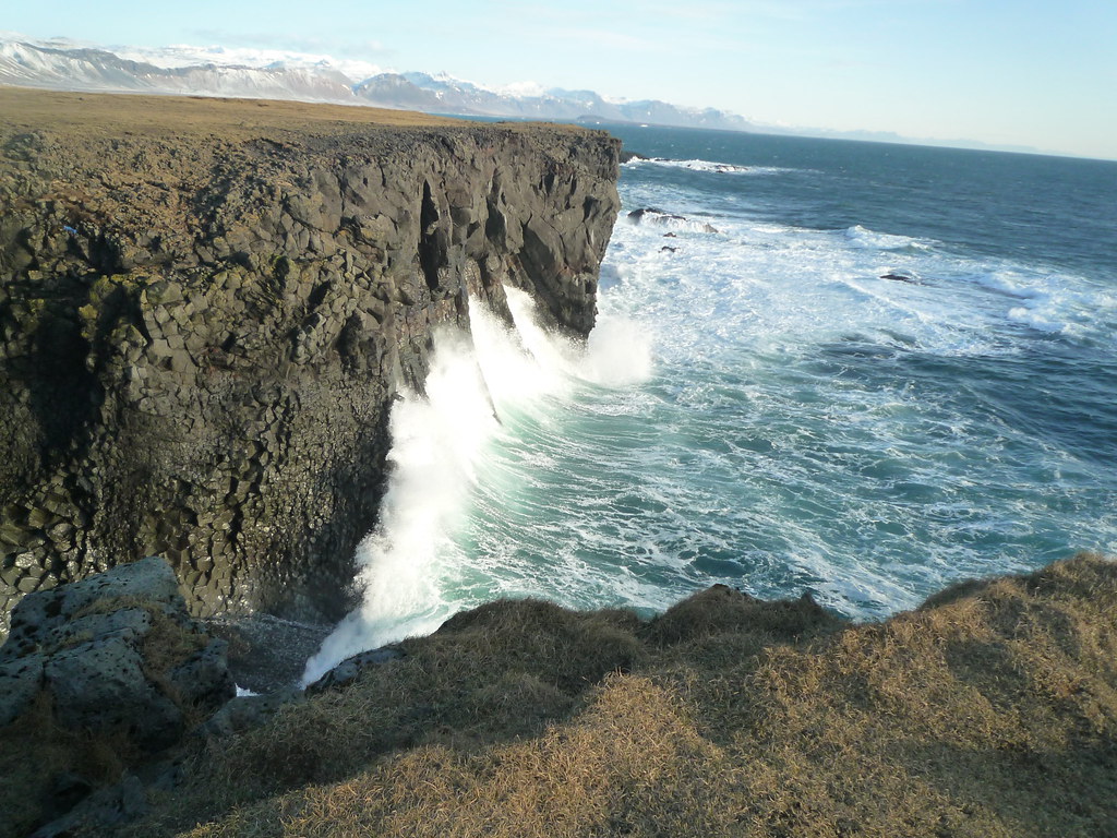
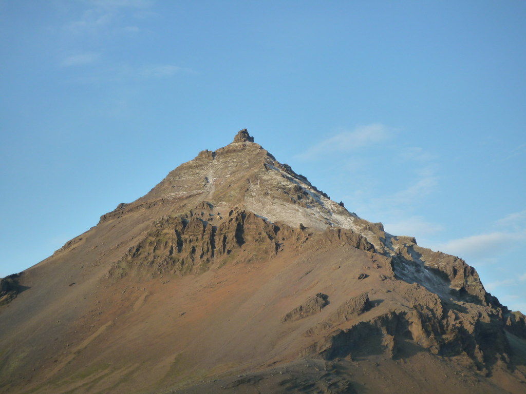
The giant volcano Snæfellsjökull was used as the entrance to the Earth's core in Jules Verne's Journey to the Center of the Earth. I was  tempted to try it, of course, but it is a serious and dangerous hike even in summer with proper gear and a group, so I didn't consider it too seriously. The coast here had some amazing waves.


 My next stop was a quaint little collection of houses with a smaller but closer elf-inhabited mountain Strapafell as the backdrop.


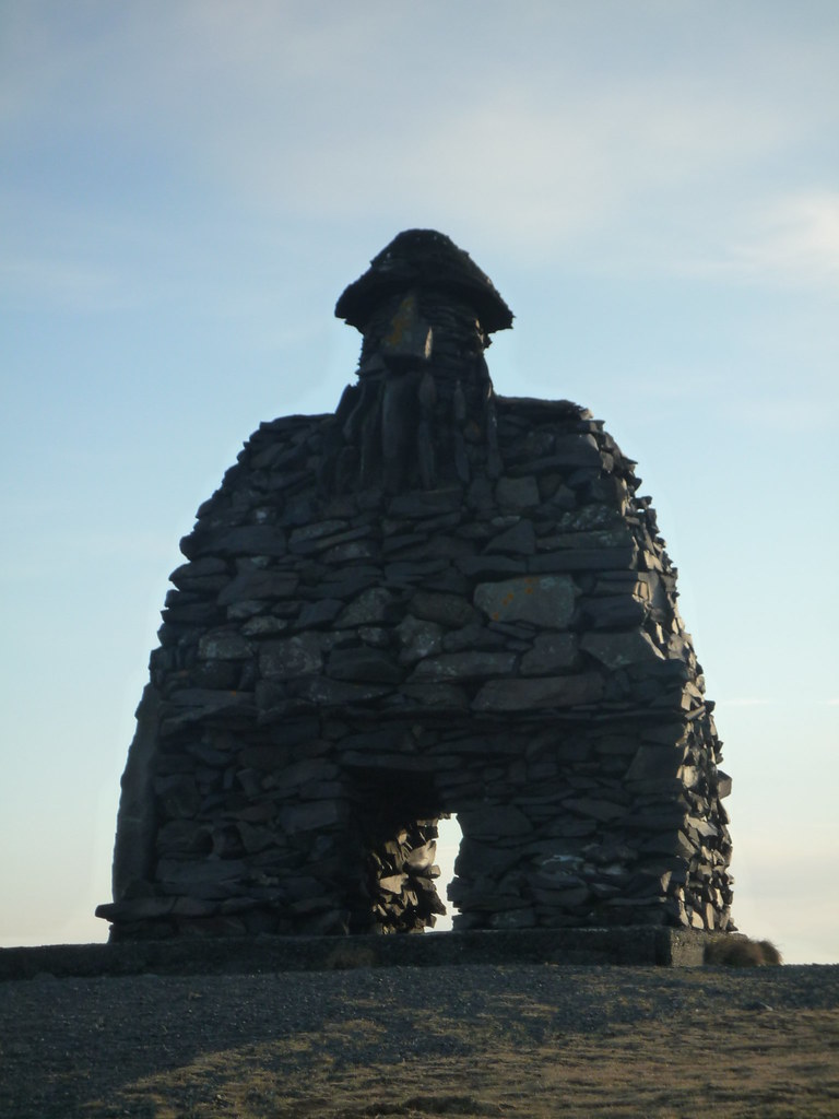
 The village is the setting for an Icelandic sage about Bárður, a half human and half ogre. Naturally, there was a statue of him:


Partway up Strapafell was a cave where one is supposed to be able to hear dwarfs hammering.  The cave really didn't look like much, though I did see some very old graffiti and got a better view of Snæfellsjökull.


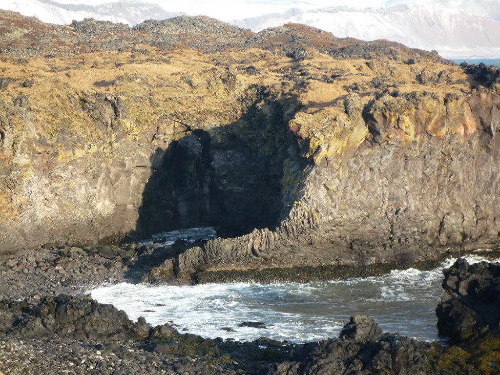
From the village there is a path through lava fields along the coast that I wish I could have walked, but I would have had to walk back as well and didn't really have time. Instead I drove to the little fishing village on the other end of the lava trail. I walked for a while along the coast where I saw some natural arches and some oddly organic-looking lava formations.


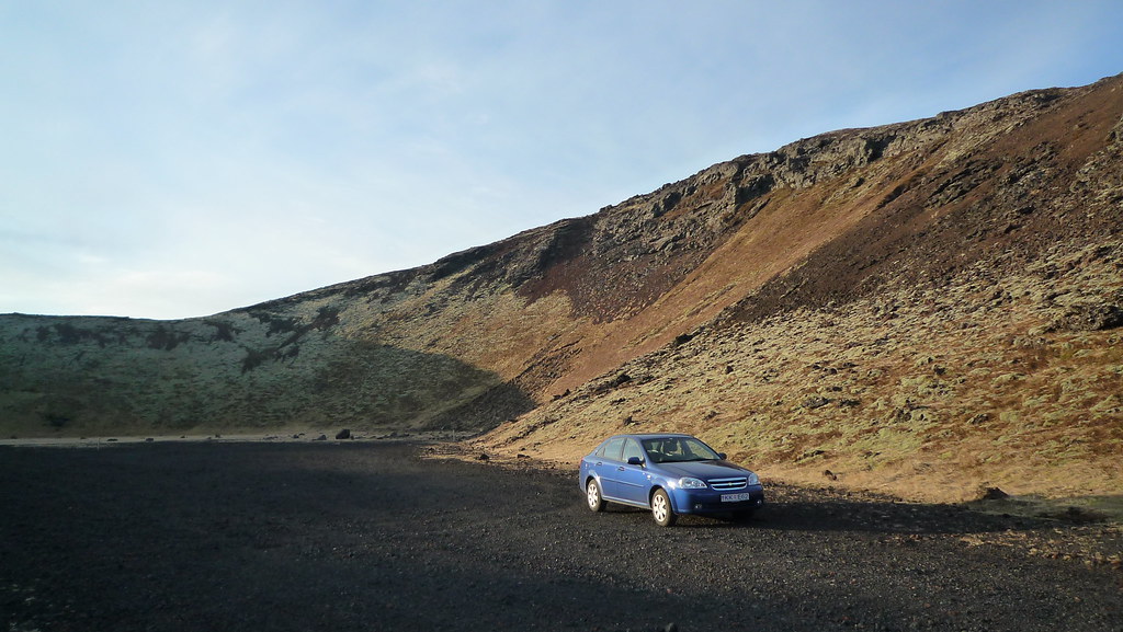
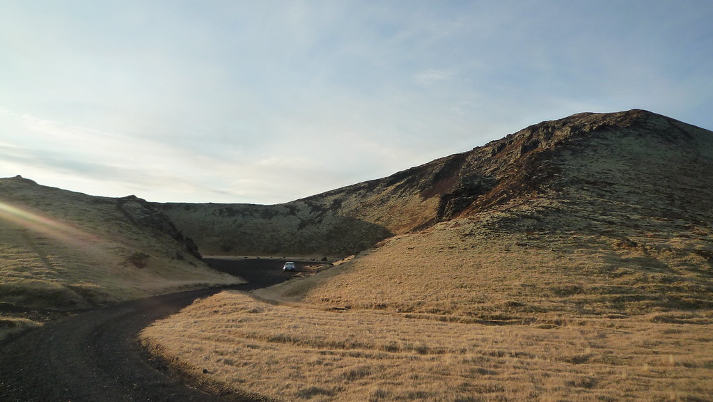
From there I drove to the West end of the peninsula to a series of craters, one of which I drove into.


My reliable little blue two wheel drive car seen here did remarkably well on Iceland's barely negotiable terrain.

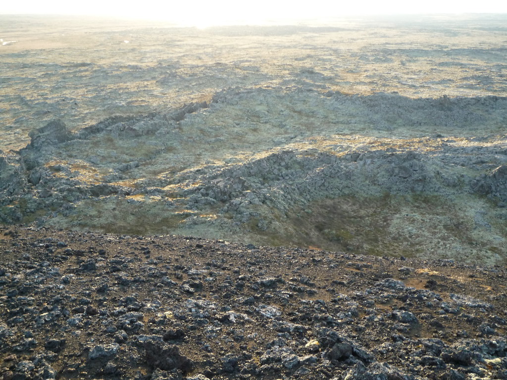
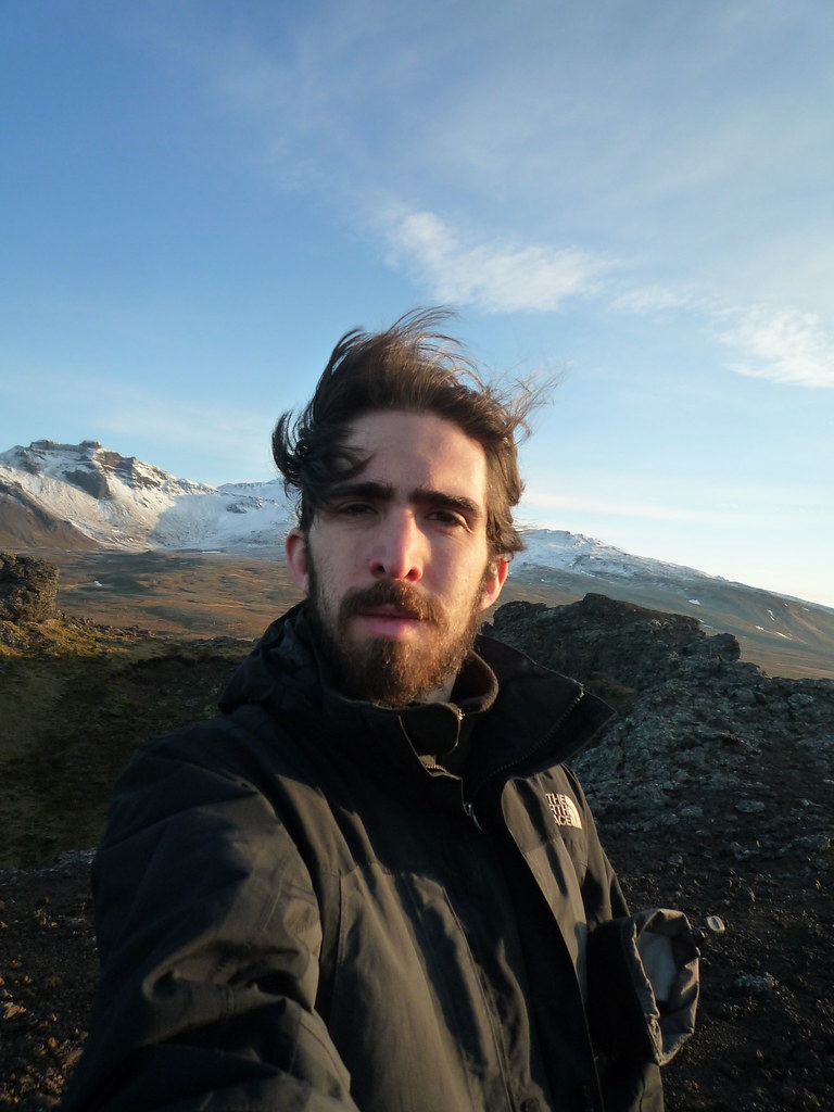
Further along I climbed a steep volcanic cone with great views of the area, including the sea, Snæfellsjökull, and the rift alongside the volcano I was standing on. It was windy.


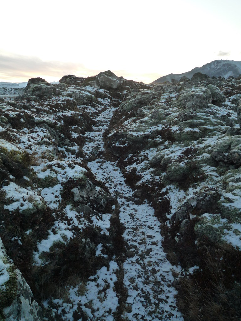
I passed Iceland's tallest structure, a radio tower, and some modern churches with interesting architecture as I turned the corner and began heading along the North side of the peninsula, which was much shadier. The mountains and the angle of the sun means that for much of the winter these areas do not see any direct sunlight at all. I raced the daylight as I drove along cliffs and beside mountains until I reached Berserkjahraun, halfway across the peninsula. Berserkjahraun is a path through lava fields. Like many viking tales, it cuts out any lesson or moral to leave more room for awesome. A farmer hired two viking warriors to work on his farm (Icelandic sagas seem full of warrior farmers). The farmer's daughter and one of the vikings fell in love and the viking asked permission to marry her. The farmer didn't want this but didn't want to outright refuse what was presumably a pretty scary guy, so he instead have the viking an impossible task: make a path through the lava field to the farmer's brother's farm, so the farmer didn't have to walk around the lava field anymore. The two vikings use their berserker strength to start tossing boulders out of the way and make a path. The farmer is incredulous, and instead of being true to his word he tricks the two berserkers into  getting locked in a sauna and then has them both killed. The path through the lava field remains to this day.


As the sun was setting and after a wrong turn and some backtracking, I finally arrived at Helgafell, a mountain that was sacred to Thor and was the site of the first assembly meeting in Iceland. A temple to Thor once sat on the mountain's top, and more recently a church was there. The stone foundation of the latter still stands. I absolutely love Norse mythology, and if I could manage to make myself believe in any religion it would be this one, full of stories simultaneously epic and hilarious and set in a world that was the inspiration behind Middle Earth in the Lord of the Rings, and hence the entire fantasy genre. As I surveyed the sunset causing the mountains to glow and creating reflections in shimmering lakes, I actually saw two ravens circling the mount, and I gave a shouting prayer to Odin, the All Father.


Bidding farewell to Huginn and Muninn (thought and memory, Odin's raven scouts), I jaunted down the mountain and continued my journey in the dark. I planned my trip so that I could end each day driving past stretches of areas where I wasn't planning to stop so that I could maximize my sightseeing during daylight hours. I ended the day in Reykir, where I planned to stay in the hostel. I was discouraged to see the building completely dark, but the door proved to be unlocked and there was a note saying to call. The proprietor was surprised that anyone was traveling around the island at this time of year, but was kind enough to let me stay for free because they were remodeling and it wasn't in top condition. This is a good example of the  kindness I experienced from the Icelandic people on my trip.

Sunday, November 14, 2010

Ring Road Day 1: The Saga Begins


The day began with a pre-dawn walk a couple miles out to pick up the car I'd rented. I'd originally planned to travel around the country by bus, but when Lonely Planet said that buses were less frequent in winter, what they really meant was 'buses go to about three places in the country and do so incredibly infrequently.' Travel in Iceland really demands four wheel drive, but my little two wheel drive was cheaper. Actually, to go on grade F roads, all terrain vehicles aren't really enough. Many roads involve fording rivers and using winches to get your vehicle over boulders. I assured the rental place I would stick to the ring road, Iceland's one highway that makes a loop around the entire country's perimeter.

My first stop of the day was Akranes, an hour North plus a quick drive under a fjord from Reykjavik. I went there for the museum, but discovered that it was closed for the winter. This was to become a theme for my trip, along with racing against the six hours of daylight to see everything before returning the car. So it goes. I was still able to see an interesting church and the outdoor exhibits of old fishing boats, as well as some nice old wooden buildings elsewhere in town.

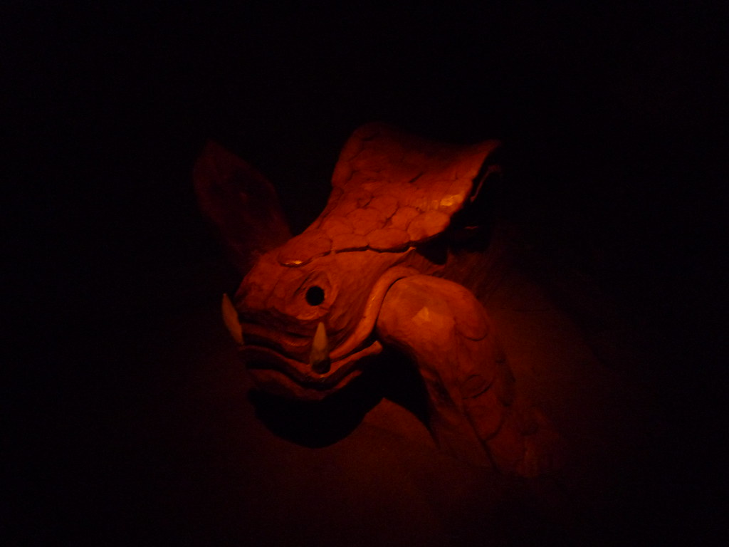
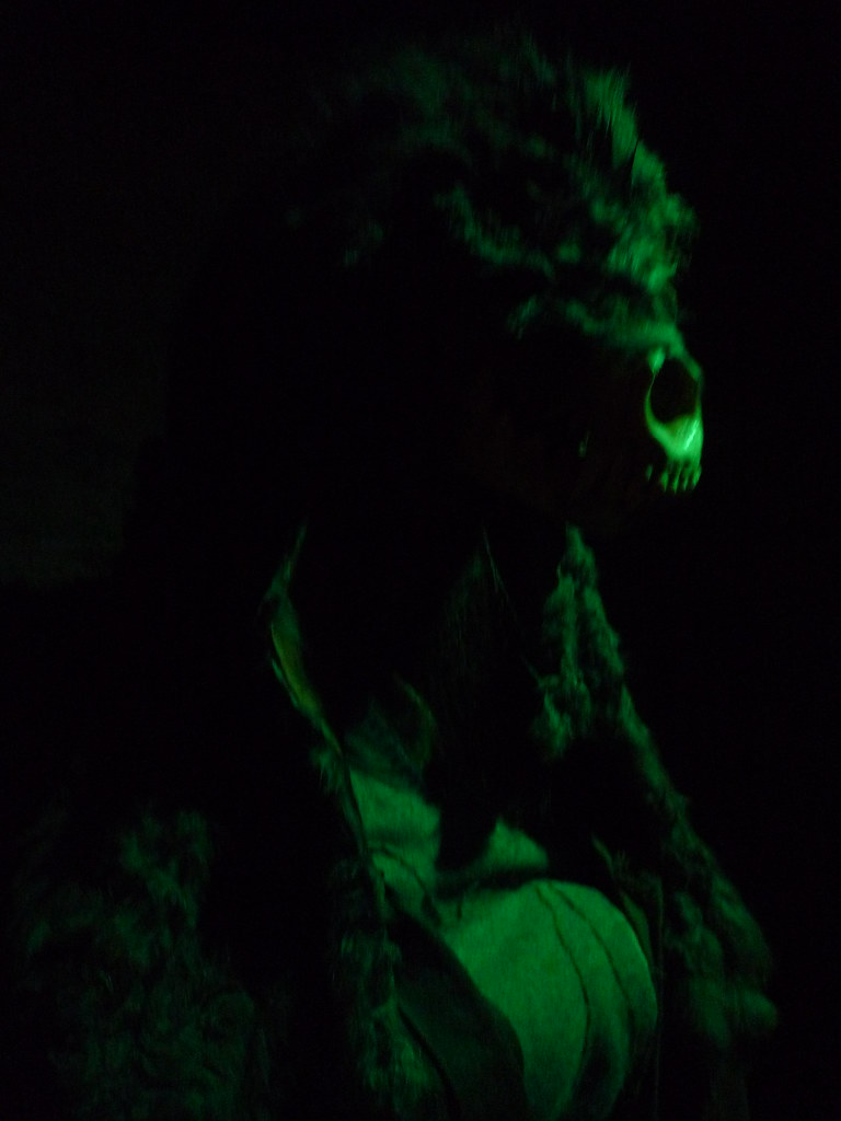
Next up was Borgarnes, where I went to the Saga museum. The saga features here was that of Egill a poet warrior who made his first kill at the age of seven, and the sites where it took place are all nearby in case one wants to try to find the gold buried by Egill's father, Skallagrímur Kveldúlfsson. The epic does not have a traditional structure and it is very clear how foreign their mindset was to our modern ideas. For example, after loosing a game similar to hockey, Egill's father kills the boy's best friend. In retaliation, the seven year old Egill killed his father's favorite servant. The saga dryly states "Relations between father and son became more strained after this." Egil Skallagrimson goes on to become an enemy (then ally, then enemy again) of the Eirik Bloodaxe, viking king of Norway and Northumbria, and had various other adventures to show off his prowess as a berserker and a wordsmith. The museum had various diorama, carvings, and creepy statues to illustrate the highlights of the story.


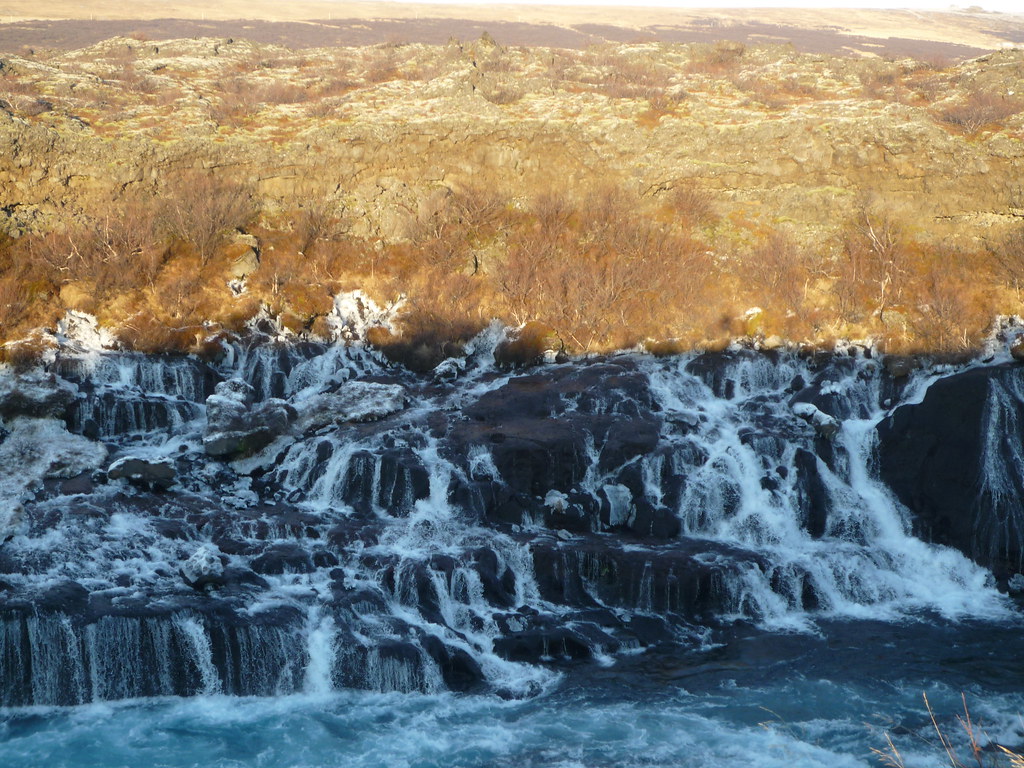
At this point I took a largish detour to go see some waterfalls and lava tubes. I passed by geothermal areas where steam poured out of the ground. The heat and water pressure are harnessed and used to power Iceland. The first waterfall was a wide cascade that appears from nowhere to join a river. The water flows underground for a ways then suddenly surfaces here.


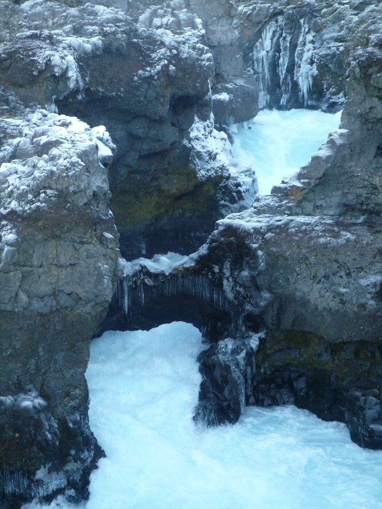
The second set looked like the liquid cold as a torrent of churning white water spilled under a stone arch. A larger stone bridge once spanned the river here, but one day it collapsed beneath two local children, sweeping them away:


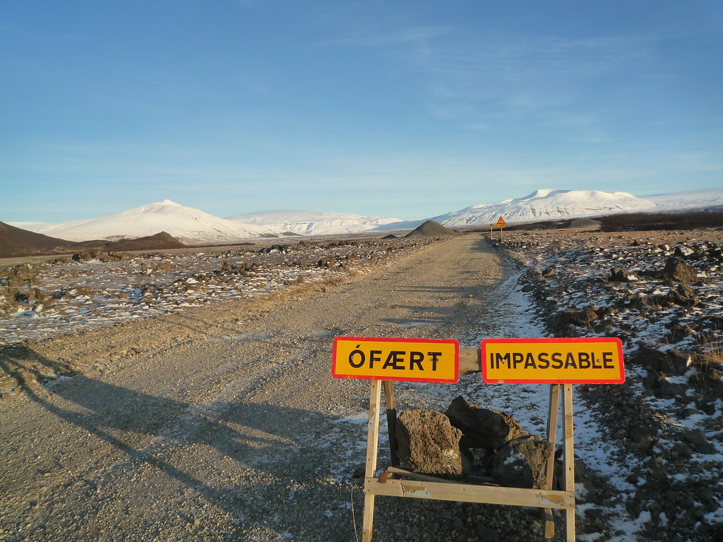
I was unable to get to the caves due to the roads being terrifying:


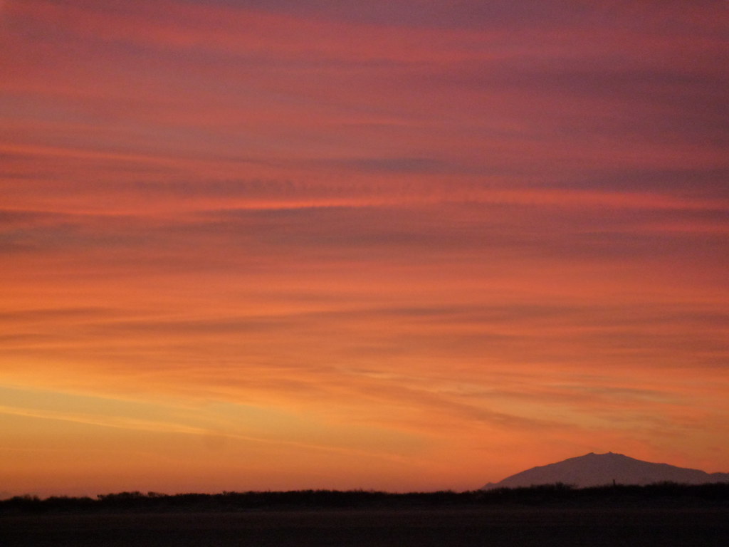
I backtracked to the Ring Road and pressed onward to the Snaefell Peninsula. I got my first glimpse of Snaefell, the large volcano at the peninsula's end, as the sky and sea seemed to turn to fire around me.


I stayed in a huge guesthouse all to myself (after the one I had intended to stay in proved to be closed for the season). It sat at the head of a trail to Eldborg, the morning's first destination.


Lots more sunset pictures here.

Þorrablót and Reykjavik miscellanea

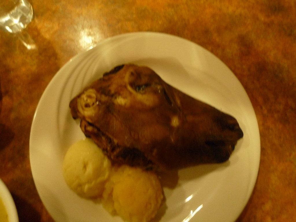
I was in Iceland for the Þorrablót, a pagan feast for Thor, which means I--as a Nordic mythology enthusiast--felt the need to participate despite the feast's contents. As with many traditional foods from formerly poor nations, these foods were winter feasts because they were the only thing left to eat and had been cured to last longer than they really should. I  was (luckily, really) unable to locate a restaurant that gave the full feast with kæstur hákarl--putrid shark's flesh left underground for months until it has decayed enough that it isn't too tough for humans to digest, only too tough to stomach--súrsaðir hrútspungar, the testicles of rams pressed in blocks, boiled and cured in lactic acid--and other (shudder) delicacies. However, I did eat Svið: singed and boiled sheep heads. Or, in my case, half a sheep's head:


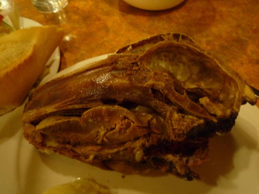
It tasted about as good as it looks. The boiled skin was rubbery and definitely not edible. Most of the meat (and there's more than you'd think) was in the cheeks and gums, and was gamy even for mutton. I was able to eat it all by mixing it in with the mashed potatoes, though I nearly made myself sick even so. My compulsion against wasting food is a curse at times.

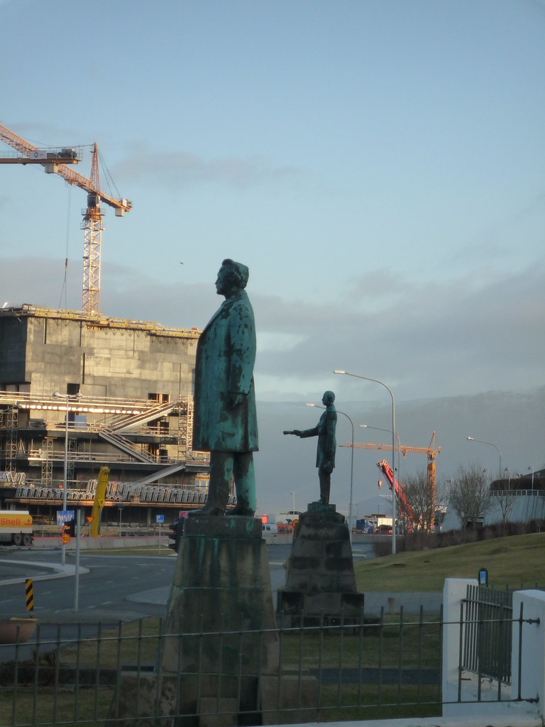
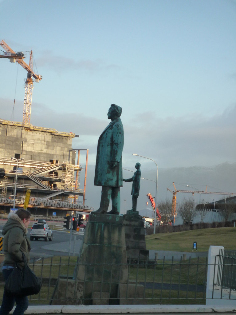
As long as we're on the subject of bad taste, here's a visual joke recreated from the cult film Reykjavik 101:


Kink Christian IX is the man presenting the constitution, and Hannes Hafstein is the one who, from this perspective albeit not historically, is receiving it.

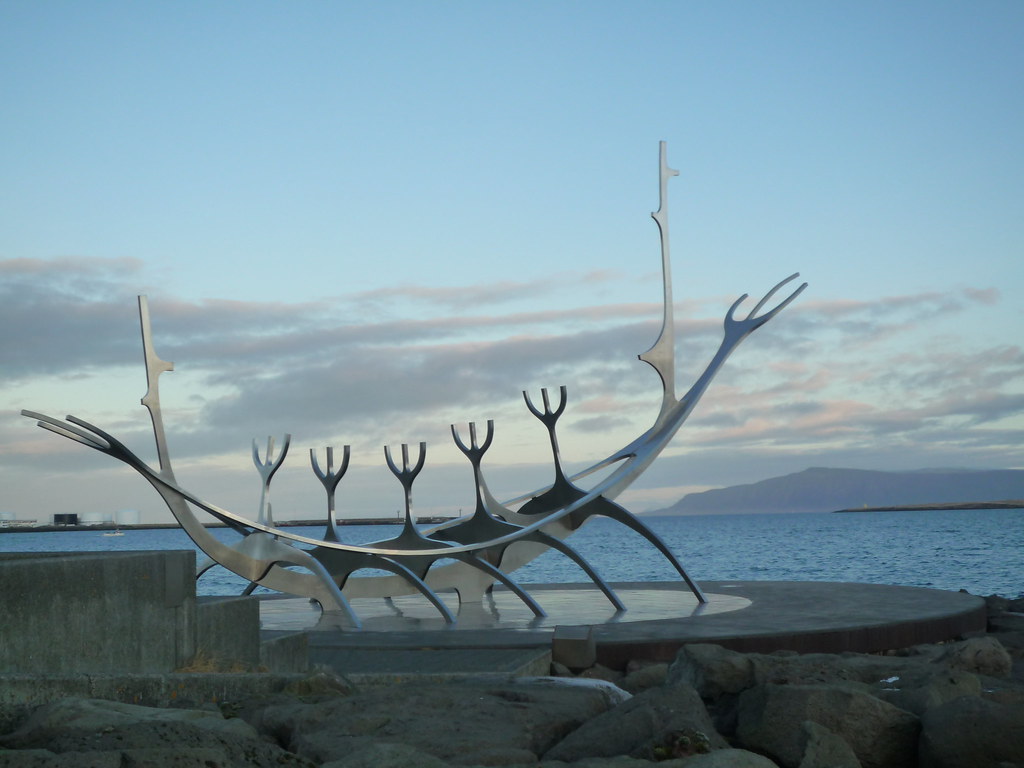
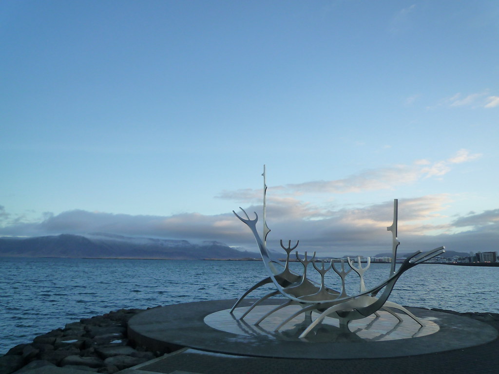
To end on a better note than Hafstein's end, here's the Suncraft, a lovely statue by Jón Gunnar Árnason.


  © Blogger template 'Minimalist G' by Ourblogtemplates.com 2008

Back to TOP